Click to download now, finish the installation quickly, and directly unlock the all-round experience
Screenshots
Click to download now, finish the installation quickly, and directly unlock the all-round experience
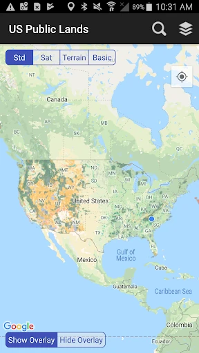
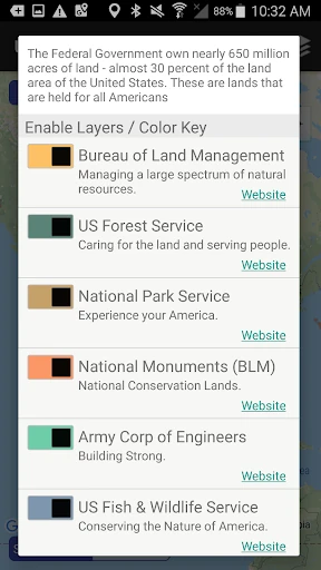
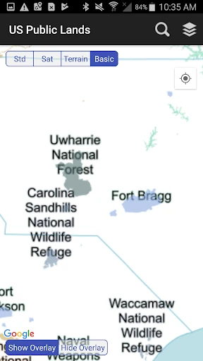
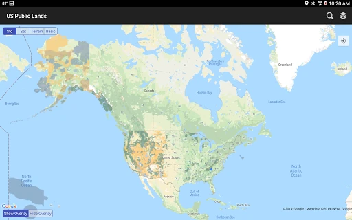
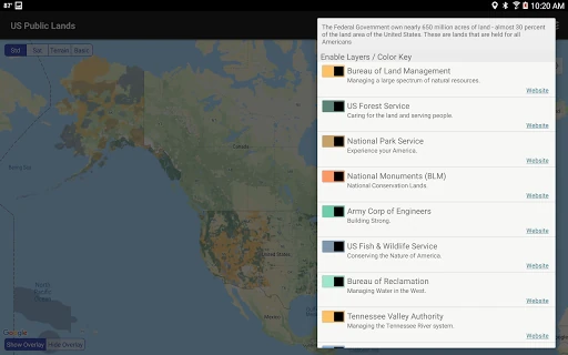
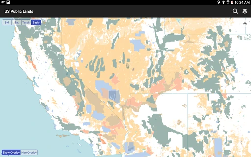
US Public Lands is a mapping tool for people exploring public land across the United States. It brings federal land information into one map, helping campers, road trippers, hunters, researchers, and other outdoor users see where public boundaries fall before they travel farther. The app covers land managed by agencies including the Bureau of Land Management, U.S. Forest Service, National Park Service, and Department of Defense.
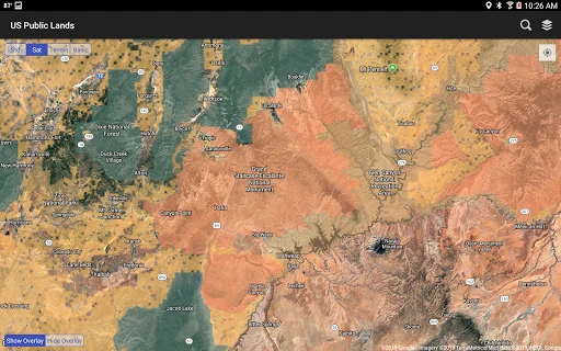
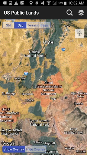
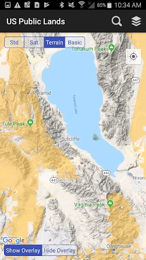
The app is built for situations where a normal map may not provide enough context. Core map layers and basic base maps can be stored on the device for offline use, which is useful in areas with weak or unavailable mobile service. A location feature shows the user’s position on the map and helps identify the surrounding land status. Satellite imagery and search tools add practical detail when scouting roads, trails, and possible dispersed camping areas.
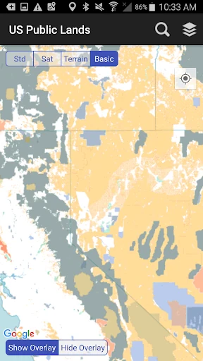
Public land rules can vary depending on which agency manages an area. US Public Lands provides links to official agency resources, giving users a starting point for checking permits, access guidance, restrictions, and stay limits. Map overlays can be shown or hidden as needed, making it easier to compare land boundaries with the terrain underneath.
This is a focused utility rather than a general travel guide. It suits anyone who needs a clearer view of federal land ownership while planning or navigating an outdoor trip. Users should still confirm current rules with the relevant land manager, especially before camping, crossing boundaries, or entering areas with special restrictions.
Developed by Two Steps Beyond LLC, the app has a 3.7 rating from 122 reviews and more than 10,000 installs on Android.