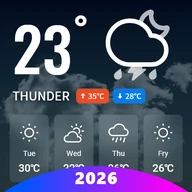
Click to download now, finish the installation quickly, and directly unlock the all-round experience
Screenshots




Click to download now, finish the installation quickly, and directly unlock the all-round experience
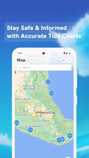
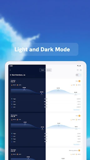
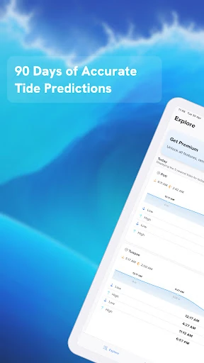
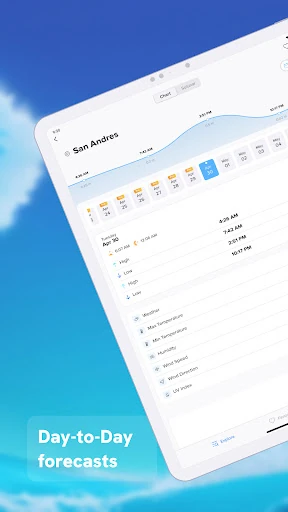
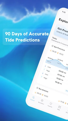
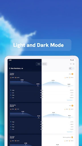
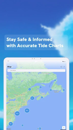
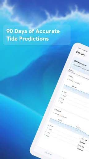
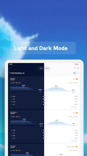
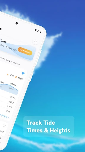
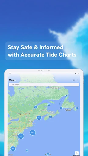
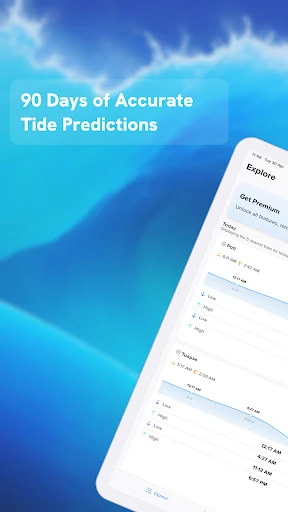
NOAA Tide Chart & Forecast is a focused weather utility for checking coastal tide conditions. It is suited to anglers, boaters, sailors, beach users, and anyone planning around changing water levels rather than looking for a full general-purpose weather app. The app uses NOAA data to show expected high and low tides for selected stations.
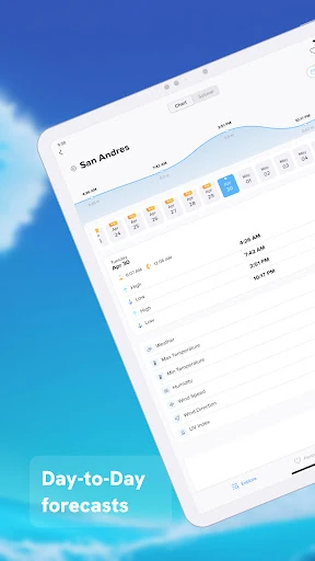
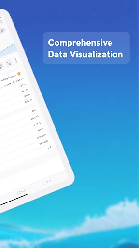
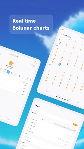
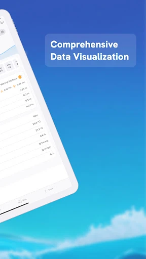
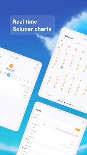
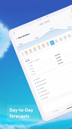
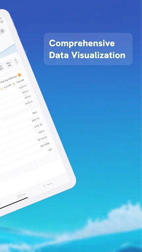
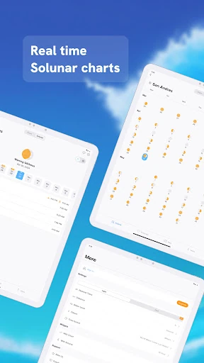
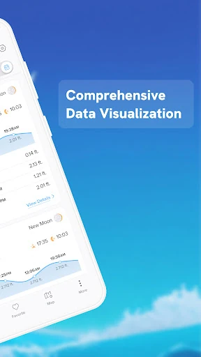
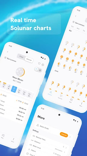
Alongside tide forecasts, the app brings together several details that can help with planning time on the water or shore. Depending on the selected station, users can review tide history, monthly reports, sunrise and sunset times, and lunar information. It also includes wave and sea-surface information, giving users more context than a simple high-tide and low-tide table.
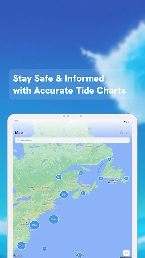
This app makes the most sense for people who already know which coastal stations matter to them. Its station-based layout keeps attention on tide timing and related marine data, but that narrow purpose also defines its limits. It is not presented as a replacement for a broad weather service with extensive rain, wind, or radar coverage. Users in areas with weak connectivity may also find that data retrieval depends on the availability of its online sources.
Developed by NextStack LLC, NOAA Tide Chart & Forecast is listed in the Weather category with 10,000+ installs. It has a rating of 3.06 from 58 reviews, suggesting a small but mixed body of user feedback. For coastal planning, the useful question is whether the app’s NOAA-centered station data matches the locations and level of detail you need.